
About Mega Drones

Built on Construction Experience. Elevated by Aerial Perspective.
Mega Drones LLC was founded by Riley Howell, an FAA Part 107 certified drone pilot based in Charlotte, North Carolina.
With a professional background in construction quality control, Riley brings firsthand experience working alongside project teams on active construction and infrastructure projects.
This experience provides a practical understanding of construction operations, site conditions, project documentation, and the importance of clear communication throughout a project's lifecycle.
By combining construction industry knowledge with professional drone operations, Mega Drones delivers aerial imagery and visual documentation designed around the needs of contractors and construction professionals.
Why Mega Drones?
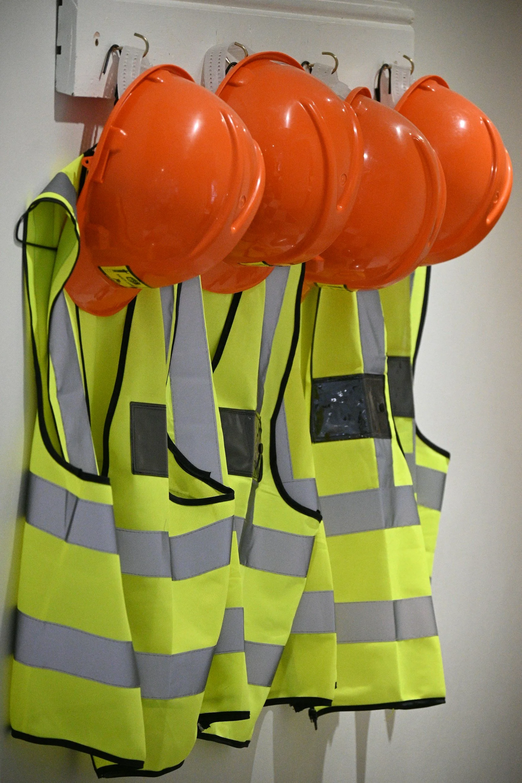
Construction Experience
Real-world understanding of active construction and infrastructure projects.
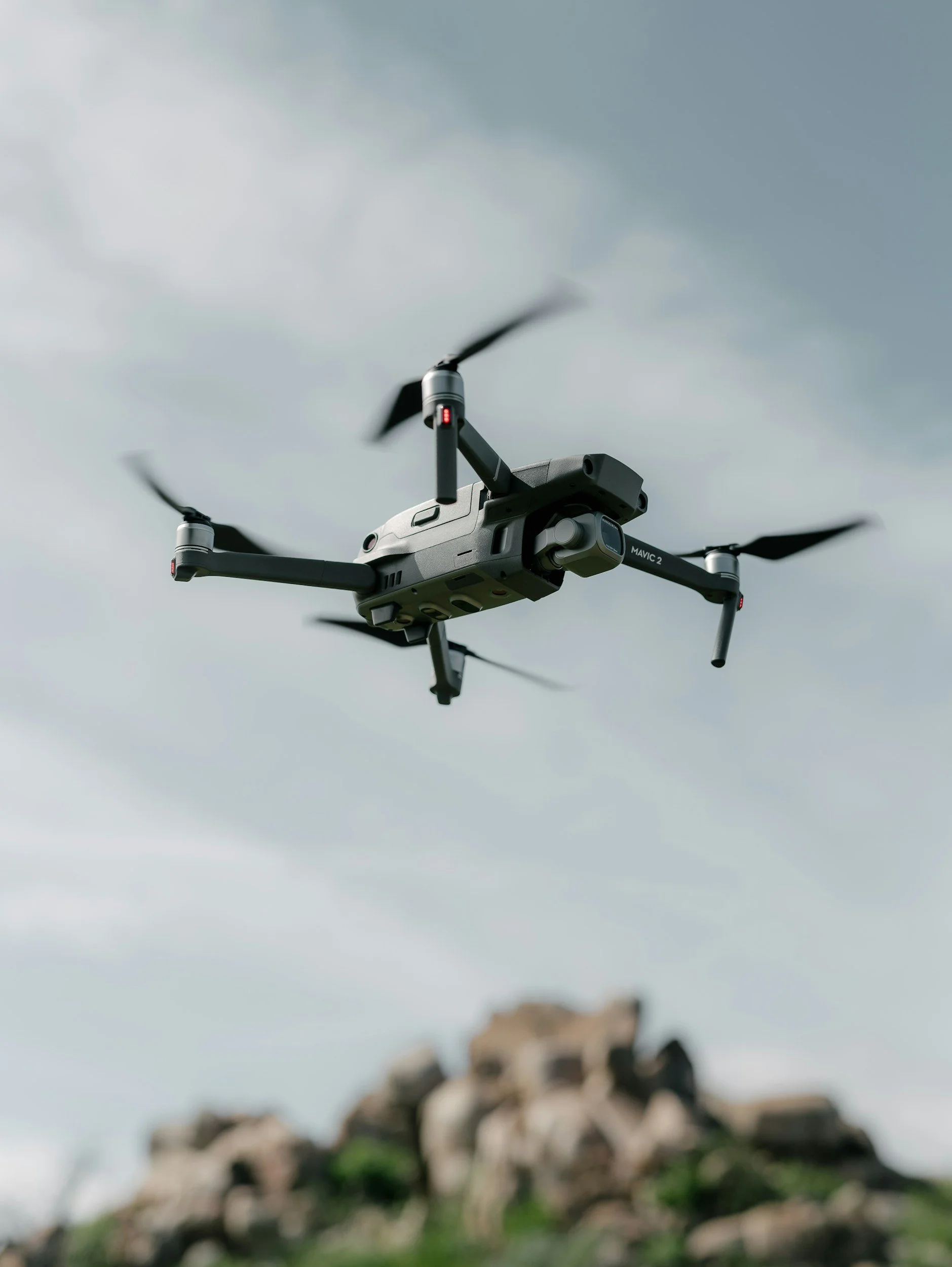
Professional Operations
FAA Part 107 certified commercial drone services.

Fully Insured
Professional coverage for commercial drone operations.
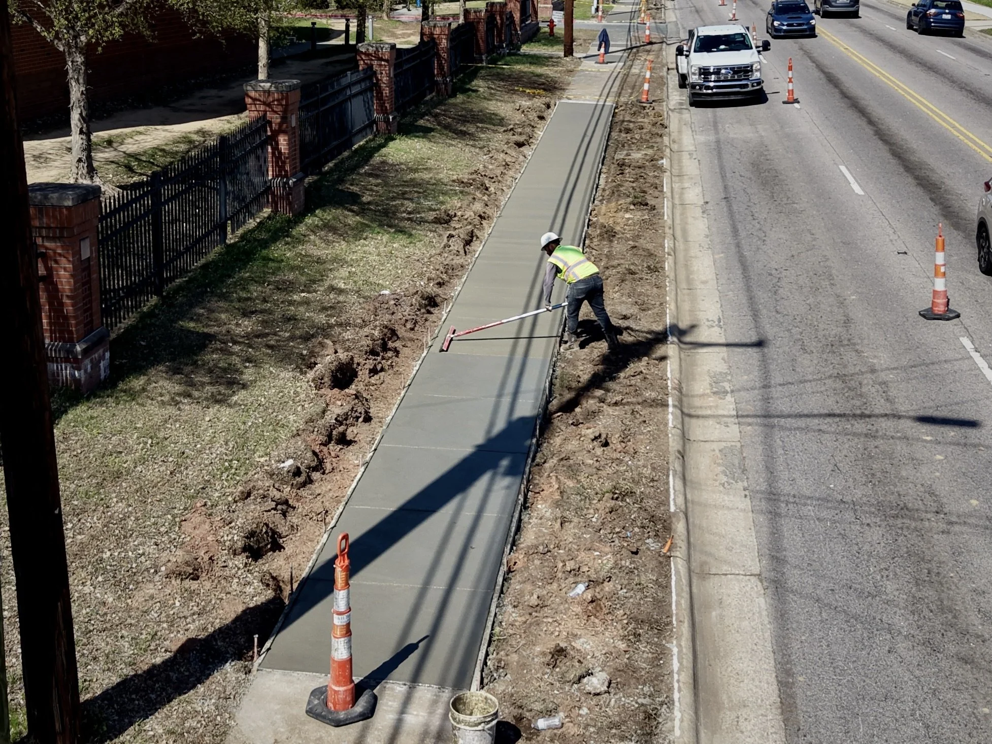
Our Approach
A Practical Approach to Aerial Documentation
Every construction project is different. Our approach starts with understanding the project, identifying what needs to be captured, and delivering aerial imagery that serves a purpose.
We prioritize professional communication, reliable scheduling, attention to detail, and high-quality deliverables.
Whether documenting ongoing construction progress or producing aerial content for a completed project, our goal is to provide a valuable perspective that helps our clients communicate and showcase their work.

Where We Work
Serving Charlotte and North Carolina
Based in Charlotte, Mega Drones provides commercial drone photography and video services throughout Charlotte and surrounding areas, with availability for projects across North Carolina.
Have a project outside our immediate service area? Reach out to discuss scheduling and availability.
Let’s Work Together
Have a construction or commercial project that could benefit from professional aerial documentation? We'd love to hear about it.